


 Izdanje Srbija
 Serbische Ausgabe
 Izdanje BiH
 Izdanje Crna Gora


 News
News


Motorway Kraljevo-Raska-Novi Pazar with speeds up to 100 km/h: Main and side routes, 111 bridges and tunnels, multiple parking lots and rest areas planned
Source: eKapija
 Friday, 28.08.2026.
11:07
Friday, 28.08.2026.
11:07
Friday, 28.08.2026.
11:07
 Comments


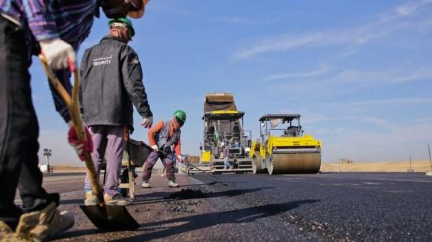
Illustration (Photo: Dejan Aleksić)
According to the Regulation on the Categorization of State Roads, this IB-Class expressway is a motorway with the designation IM 17, while the future branch of the Raska-Jarinje expressway has the designation IM 19.
The boundary of the Spatial Plan is determined based on the corridor of the planned IB-Class expressway of the main route Kraljevo-Raska-Novi Pazar and the Raska-Jarinje side route, with a total length of 93.49 km. The length of the corridor on the main route Kraljevo-Raska-Novi Pazar will be 80.74 km, and the length of the corridor on the side route Raska-Jarinje will be 12.75 km. Of this, on the territory of the City of Kraljevo the length of the main corridor will be 47.15 km, on the territory of the Municipality of Raska 27.48 km, and on the territory of the City of Novi Pazar 6.11 km. As for the side route Raska-Jarinje, the entire section of 12.75 km passes through the Municipality of Raska.
In the area of the Spatial Plan, for the entire route of the expressway, a road route is planned and designed for a design speed of 100 km/h (80 km/h in tunnels). The planned width of the carriageway will be 4x3.5 m, the edge lanes 4x0.5 m, the medians at least 1x2-4 m, the shoulders at least 2x1.5-2 m, and the inlet/outlet lanes 3.5 m.
(Photo: Print screen / Nacrt PPPPN-a)
The construction of a total of 111 structures (bridges and tunnels) is planned on the route, of which the vast majority of these structures, almost 100 of them, are bridges.
The Adrani, Usce and Raska road maintenance bases are also planned on the expressway corridor, and the Bogutovac (Section 2), Usce (Section 4), Baljevac (Section 5) and Pozezina (Section 7) parking lots are also planned.
The Musina Reka (Section 1) and Raska (Section 5) rest areas are also planned.
As stated in the Spatial Plan, the construction of the expressway will directly contribute to the faster development of the included part of the Raska Administrative District and local government units that are directly related to this corridor and to better connecting the areas of Central Serbia and AP Kosovo and Metohija. The construction of this expressway aims to connect the Morava Corridor and the city of Kraljevo with Raska, Novi Pazar and Kosovska Mitrovica.
– This will complete the unique system of IB-class expressways that integrate the territory of Serbia and further connect it, directly or via IA-class state roads, with the international environment – it is emphasized in the Spatial Plan.
The responsible party for the development of the Spatial Planning is the Agency for Spatial and Urban Planning of the Republic of Serbia. The expert planner is the Institute of Architecture and Urban Planning of Serbia, in cooperation with the developers of the conceptual design. The investor for the development of the plan and conceptual design is the Roads of Serbia.
The plan will be available for public inspection until September 25.
D. A.
Companies:
Agencija za prostorno planiranje i urbanizam Republike Srbije
 Institut za arhitekturu i urbanizam Srbije Beograd
 JP Putevi Srbije Beograd
Tags:
Agency for Spatial and Urban Planning
Roads of Serbia
Institute for Architecture and Urban Planning of Serbia
Spatial Plan of the Special Purpose Area of the Infrastructure Corridor of the IB Class Expressway Kraljevo Raska Novi Pazar
Spatial Plan of the Special Purpose Area for the expressway Kraljevo Novi Pazar Raska
expressway Kraljevo Novi Pazar Raska
expressway Raska Jarinje
Comments
Your comment
Naš izbor


Most Important News
Full information is available only to commercial users-subscribers and it is necessary to log in.
Pratite na našem portalu vesti, tendere, investicione projekte, grantove i pravnu regulativu.
Registracija na eKapiji vam omogućava pristup potpunim informacijama i dnevnom biltenu
Naš dnevni ekonomski bilten će stizati na vašu mejl adresu krajem svakog radnog dana. Bilteni su personalizovani prema interesovanjima svakog korisnika zasebno,
uz konsultacije sa našim ekspertima.