


 Izdanje Srbija
 Serbische Ausgabe
 Izdanje BiH
 Izdanje Crna Gora


 News
News


Gold keeps pouring out of Rogozna, Australians bringing in more drills – New lode struck at Gradina with over 10 grams per ton
Source: eKapija
 Tuesday, 27.05.2025.
13:07
Tuesday, 27.05.2025.
13:07
Tuesday, 27.05.2025.
13:07
 Comments


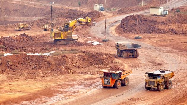
(Photo: Africa Studio/shutterstock)
A smaller gold content in the ore was found at a depth of 404 meters (5.5 g/t), whereas a bit higher up, at a depth of 391.5 meters, the Australians struck two lodes with 4.36 g/t (a belt of 16.7 meters) and 6 g/t (a belt with a width of eight meters), Australian media report.
This is the result of the first drilling at Gradina this year and it shows, as the company announced, that, all things considered, the site contains only gold, unlike other Rogozna sites - Medenovac, Sanac and Bakarni kanjon (Copper Canyon), where the ore reserves also include silver, copper, zinc and lead.
Strickland earlier detected high-quality gold at greater depths at the Gradina site, and now it is looking for shallow mineralization of this valuable metal.
The most recent gold discovery took place at the north end of the site and expanded the so-far known mineralization of high-quality ore by over 1 kilometer in length and up to 900 meters vertically. Estimates of the mineral resources of the site are expected by the end of 2025, and so far, it has been estimated that there are 231 tons equivalent of gold under Rogozna.
Six drills are currently active on Rogozna, of which as many as four at Gradina. A seventh one is to arrive soon as well, and the Australians plan to drill 50,000 meters this year.
B. P.


U blizini:


Opis:
Vidi sve
Companies:
Strickland Metals
Comments
Your comment
Naš izbor



Most Important News
Full information is available only to commercial users-subscribers and it is necessary to log in.
Pratite na našem portalu vesti, tendere, investicione projekte, grantove i pravnu regulativu.
Registracija na eKapiji vam omogućava pristup potpunim informacijama i dnevnom biltenu
Naš dnevni ekonomski bilten će stizati na vašu mejl adresu krajem svakog radnog dana. Bilteni su personalizovani prema interesovanjima svakog korisnika zasebno,
uz konsultacije sa našim ekspertima.