


 Izdanje Srbija
 Serbische Ausgabe
 Izdanje BiH
 Izdanje Crna Gora


 News
News


Novi Sad to expand recreational facilities – Jugovicevo to become green oasis

 Comments


Illustration (Photo: Aleksandar Parezanović)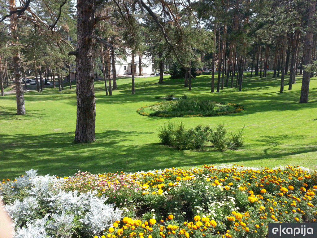
In the familiar pattern of urbanization of larger cities, when unfortunately every tree-lined avenue becomes an oasis between what is still public space and what is already an investment, Novi Sad may have a chance to make a turning point in terms of its green fund.
Namely, some of the current urban early public insights, such as the park-forest on Jugovicevo and the plan for the detailed regulation of Rokov Potok in Petrovaradin, speak in favor of this.
Playgrounds and urban gardens
Petrovaradin expects greater urbanization (Photo: Shutterstock/Kirill Skorobogatko)
This area is home to a former airport, so this part of Novi Sad has a special historical context for the city and Serbia.
Currently, the greenery consists of wild vegetation, large grassy areas and arable land without existing roads. The new plan provides guidelines for the formation of future roads, as well as a sports center and the development of the park-forest.
The perimeter of the green oasis would be a mass activity zone with a gym, pedestrian and bicycle paths that would connect the memorial park related to the pilot school, the archaeological site, children’s playgrounds and urban gardens.
The sports center should be realized in the form of a two-story building with outdoor fields and green open space.
The central area will be a peaceful rest area, away from the city noise, with a preserved natural environment and access via a network of pedestrian and bicycle paths.
The plan leaves the possibility of creating a lookout or riding trails in areas suitable for that purpose. All facilities must not occupy more than 5% of the total area.
General Regulation Plan for Rokov Potok
Urban villas recently built in the Rokov Potok settlement (Photo: Masterplan ARC)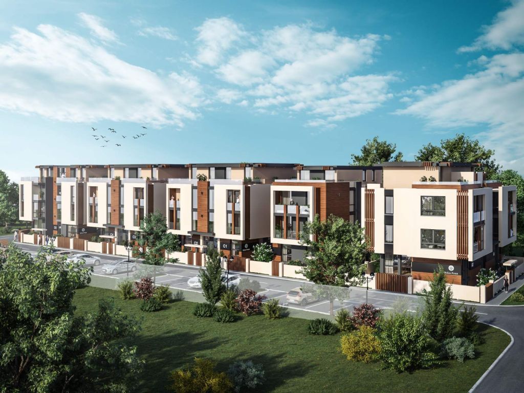
The stream has a winding and irregular flow, sometimes with a regulated and sometimes an unregulated bed with wild vegetation that sometimes obstructs the flow of water.
Given the current and expected level of urbanization of Miseluk, Alibegovac and Petrovaradin, stormwater will significantly affect the increase in the volume of the stream.
The plan does not strictly define future changes, but rather provides guidelines for potential construction interventions in the bed.
Due to construction works on the Fruska Gora Corridor section, the plan proposes a partial relocation of the Rokov Potok stream.
It has been noted that there are already facilities that obstruct it or, on the other hand, enable its flow.
The goals of the plan are to define the smaller and larger riverbed, protect the stream from the aspect of water management and ecology, enable efficient drainage of stormwater from the entire area, and align infrastructure lines with the stream flow.
Green Novi Sad - a question of survival
In addition to numerous new urban plans in recent years, greenery in Novi Sad is no longer a question of aesthetics, but of survival.
The question arises to what extent the ideas about the park-forest on Jugoviceva and the development of the banks of Rokov Potok will really result in the image of urban oases and whether they have such potential from the start.
The current plans can be viewed on the website of the Public Enterprise “Urbanizam” or on the website of the City of Novi Sad until November 20 or 27 of the current year.

Lokacija:
Google Maps
U blizini:



Tags:
Jugovićevo
 Petrovaradin
Rokov Potok
Mišeluk
AlibegovacMajevica barracks
General Regulation Plan for Rokov potok
sports center
playgrounds
Comments
Your comment
Naš izbor


Most Important News
Full information is available only to commercial users-subscribers and it is necessary to log in.
Pratite na našem portalu vesti, tendere, investicione projekte, grantove i pravnu regulativu.
Registracija na eKapiji vam omogućava pristup potpunim informacijama i dnevnom biltenu
Naš dnevni ekonomski bilten će stizati na vašu mejl adresu krajem svakog radnog dana. Bilteni su personalizovani prema interesovanjima svakog korisnika zasebno,
uz konsultacije sa našim ekspertima.