


 Izdanje Srbija
 Serbische Ausgabe
 Izdanje BiH
 Izdanje Crna Gora


 News
News


NIS uses drone to search for oil
Source: eKapija
 Wednesday, 14.05.2025.
10:52
Wednesday, 14.05.2025.
10:52
Wednesday, 14.05.2025.
10:52
 Comments


(Photo: bibiphoto/shutterstock)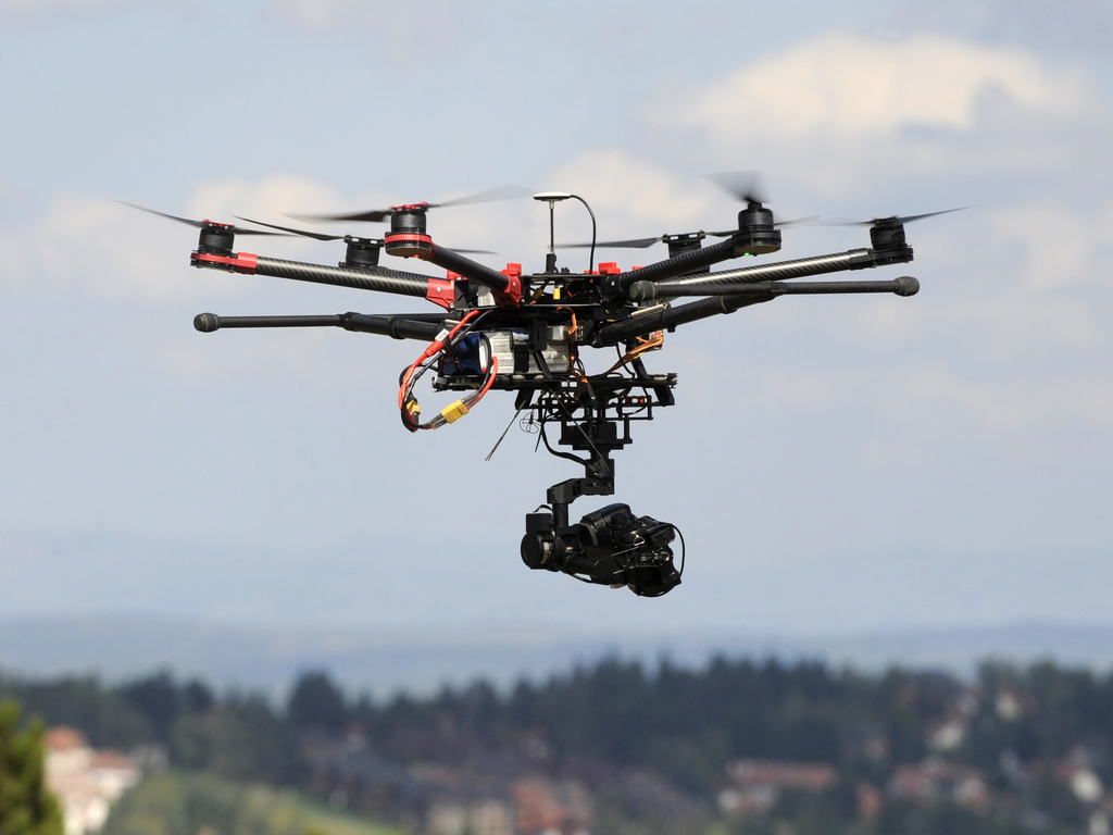
As the company announced, the survey has produced orthophoto images, digital terrain models and spot clouds, and the data are to be used for the planning of pipelines and facilities. In this case, the drone replaces the traditional geodetic methods, with a measurement accuracy of 15 to 20 millimeters. It is possible to process up to 90 hectares of the terrain a day at a flight altitude of 190 meters, with a precision rate of 3 cm per pixel.
The technology was applied by the employees of the Engineering Department of the Science and Technology Center (STC) of NIS, which plans to expand this practice to other locations as well.
According to Aleksandar Knezevic, the director of this department, the survey enables a quicker preparation of the project documentation, and the terrain images facilitate the work of the planners without having to make additional visits to the terrain. He cited the example of a location of 25 hectares, which was surveyed in a single day, making for considerable time savings.
Companies:
 NIS a.d. Novi Sad

Comments
Your comment
Naš izbor


Most Important News
Full information is available only to commercial users-subscribers and it is necessary to log in.
Pratite na našem portalu vesti, tendere, investicione projekte, grantove i pravnu regulativu.
Registracija na eKapiji vam omogućava pristup potpunim informacijama i dnevnom biltenu
Naš dnevni ekonomski bilten će stizati na vašu mejl adresu krajem svakog radnog dana. Bilteni su personalizovani prema interesovanjima svakog korisnika zasebno,
uz konsultacije sa našim ekspertima.